
Have you ever struggled to understand a map because it felt too cluttered or confusing? What if you could see the entire area clearly, as if you were flying high above it all?
Learning how to look at a map in a bird’s eye view can change the way you navigate and explore. It helps you spot important landmarks, plan routes easily, and avoid getting lost. You’ll discover simple tricks to zoom out and see the bigger picture, making your next adventure or task much smoother.
Keep reading, and you’ll soon master the skill that turns any map into a powerful tool just for you.

Credit: www.reddit.com
Benefits Of A Bird’s Eye View
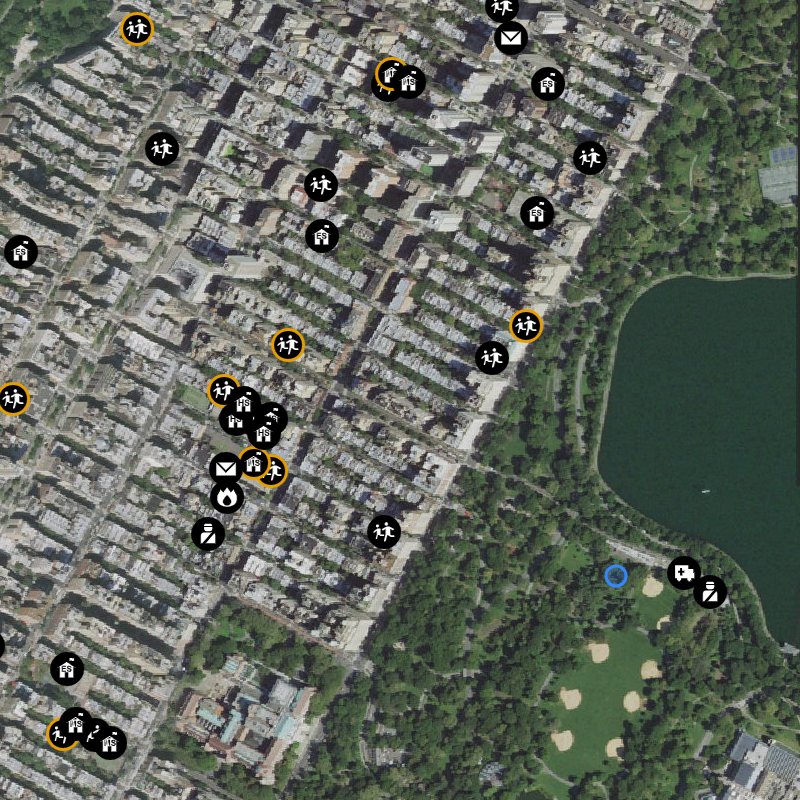
Looking at a map from a bird’s eye view gives a clear and simple picture. It shows many details at once.
This view helps people understand places better and make smart choices.
Improved Navigation
A bird’s eye view shows all roads and paths clearly. You can see how places connect to each other.
- Easier to find the best route
- Quickly spot landmarks and important places
- Reduce the chance of getting lost
Enhanced Spatial Awareness
This view helps you see how far things are from each other. It shows the size and shape of areas well.
| Feature | Benefit |
| Distance between places | Understand travel time |
| Area size | Plan space use |
| Land layout | Know natural and man-made features |
Better Planning And Decision Making
With a bird’s eye view, you can see all options clearly. This helps in choosing the best plan for any project or trip.
Here are some ways this view helps in planning:
- Compare different routes or locations easily.
- Spot areas for building or development.
- Decide on the best places to visit or avoid.
Choosing The Right Map Type
Looking at a map from a bird’s view helps you understand large areas. Different maps show different details. Choosing the right map type makes your task easier.
Some maps show land shapes, others show real images, and some let you interact. Learn about topographic maps, satellite imagery, and digital maps to pick the best one.
Topographic Maps
Topographic maps show land shapes and heights with lines called contour lines. They help you see hills, valleys, and flat areas from above.
- Show elevation changes
- Use contour lines to represent height
- Good for hiking and land study
- Display natural and man-made features
Satellite Imagery
Satellite images are real photos taken from space. They show actual colors and details of the land and buildings.
| Feature | Benefit |
| Real colors | See how places really look |
| Detailed images | Identify roads, rivers, and forests |
| Updated often | Use for current views |
Digital And Interactive Maps
Digital maps work on computers and phones. You can zoom in, search places, and add markers to explore easily.
Advantages of digital maps:
- Zoom in and out for detail
- Search for locations quickly
- Get directions and routes
- Update maps in real time
Techniques For Gaining Perspective
Looking at a map from a bird’s eye view helps you understand the area better. It shows how places connect and how far they are from each other. Using the right techniques makes this easier and clearer.
This guide covers three ways to gain perspective on a map. You will learn how to zoom out properly, use landmarks to find your way, and read the scale and distance accurately.
Zooming Out Effectively
Zooming out lets you see a larger area on the map. It helps you spot patterns and understand the bigger picture. But zooming out too much can hide important details.
- Start by zooming out until you see the main roads and towns.
- Look for clusters of places to understand regions.
- Keep zooming out slowly to avoid losing key information.
- Switch back to a closer view if you need more detail.
Using Landmarks For Orientation
Landmarks are special spots on a map. They help you find your place and guide you. Examples include rivers, mountains, or tall buildings. Recognizing these helps you understand where you are and where to go.
| Type of Landmark | How It Helps |
| River | Shows natural boundaries and direction |
| Mountain | Marks high points and limits of travel |
| Bridge | Indicates crossing points over water |
| Park | Identifies green spaces and rest areas |
Interpreting Scale And Distance
The scale on a map tells you how much distance a small length on the map covers in real life. Reading the scale helps you judge how far places are from each other. This knowledge is key for planning trips or walks.
Here is how to use the map scale:
- Find the scale bar on the map, like 1 inch equals 1 mile.
- Use a ruler or your finger to measure between two points.
- Multiply the map measurement by the scale to get real distance.

Credit: www.reddit.com
Tools To Assist Bird’s Eye Viewing
Looking at maps from a bird’s eye view helps you see the bigger picture. It shows the layout of places clearly.
Many tools can help you get this top-down view. These tools include apps, drones, and 3D mapping software.
Map Apps And Software
Map apps let you zoom out to see areas from above. They show roads, buildings, and natural features.
Software like Google Maps or OpenStreetMap gives clear aerial views. You can explore cities and landscapes easily.
- Zoom in and out for details or overview
- Switch between map and satellite views
- Use layers to see traffic or terrain
Drones And Aerial Photography
Drones capture pictures and videos from high above. They give real-time bird’s eye views.
People use drones to map land, check buildings, or study nature from the sky.
- Fly drones to capture wide area images
- Use live video for current views
- Create detailed maps from drone photos
3d Mapping Tools
3D mapping tools build models of places using height and shape data. They help you see buildings and landforms clearly.
These tools give a bird’s eye view with depth, showing how tall or deep things are.
- Visualize terrain with hills and valleys
- Examine buildings from top and sides
- Use data from satellites or drones
Common Challenges And Solutions
Looking at a map from a bird’s eye view can be tricky. It shows a lot of details all at once. You might feel lost or confused.
This guide talks about common problems people face. It also gives simple ways to fix them. This will help you read maps better.
Avoiding Information Overload
Maps can show too much information at once. This makes it hard to understand the main points. Too many symbols or colors can distract you.
Focus on the most important parts first. Ignore small details that do not help your goal. Use map keys or legends to understand symbols.
- Look for major landmarks or roads
- Use zoom tools to see less or more detail
- Cover parts of the map to focus on one area
- Refer to the legend to decode symbols
Maintaining Focus On Key Details
It is easy to miss important details on a big map. Your eyes may jump around too much. This causes confusion and errors.
Pick one or two details to watch closely. These could be roads, rivers, or boundaries. Check those details carefully before moving on.
- Choose the main route or area first
- Note important names or labels
- Use a ruler or finger to follow lines
- Pause and review details before moving ahead
Adapting To Different Map Formats
Maps come in many styles. Some are paper maps, others are digital or interactive. Each type needs a different way to read.
Learn how to use the tools and features of each format. Paper maps need physical handling. Digital maps can zoom and show layers.
- For paper maps, use a pencil or ruler for notes
- On digital maps, use zoom and layers wisely
- Practice switching views between satellite and map mode
- Adjust screen brightness and contrast for clarity
Credit: www.usgs.gov
Practical Applications
Looking at a map in a bird’s eye view helps us see a large area from above. This view makes it easy to understand how places connect. It shows roads, buildings, and land all at once.
This view is useful in many areas. It helps people make decisions and plan actions by showing the big picture clearly.
Urban Planning And Development
City planners use bird’s eye maps to design towns and cities. They see where to build homes, parks, and roads. This helps create places that work well for people.
Developers check land use and nearby services. This view helps avoid problems like traffic jams or crowded spaces. It also helps plan future growth safely.
Outdoor Activities And Hiking
Hikers and outdoor lovers use bird’s eye maps to find trails and landmarks. They can see hills, rivers, and forests from above. This helps them choose safe and fun routes.
It also shows distances between points. This way, hikers can plan how long their trip will take and where to rest.
Emergency Response And Safety
Emergency teams use bird’s eye views to find the best way to reach people in danger. They see roads, buildings, and open spaces clearly. This speeds up rescue efforts.
Safety planners check areas that may flood or catch fire. The bird’s eye view helps them prepare and protect communities better.
Frequently Asked Questions
What Does Bird’s Eye View Mean On A Map?
A bird’s eye view shows a map from above, like a bird flying high. It provides a broad perspective, helping users see the layout clearly and understand the spatial relationships between locations.
How Can I Interpret A Map’s Bird’s Eye View?
Focus on landmarks, streets, and relative distances. This view simplifies navigation by showing key features clearly. It helps in planning routes and understanding area layouts quickly and effectively.
Why Is Bird’s Eye View Useful In Maps?
It offers an easy-to-understand perspective, showing large areas at once. This helps users grasp geography, identify important spots, and plan travel or study locations with better spatial awareness.
How To Read Map Symbols In Bird’s Eye View?
Look for a legend or key on the map. Symbols represent places or features like parks, roads, or buildings. Understanding them helps you interpret the map accurately from a bird’s eye perspective.
Conclusion
A bird’s-eye view of a map offers great perspective. It helps in understanding routes and locations more clearly. This view provides a broader understanding of surroundings. You can easily spot landmarks and key features. Remember to practice regularly for better skills.
Enjoy exploring maps from this unique angle. It makes navigation easier and more enjoyable. Keep experimenting with different maps. Each offers a new learning experience. With time, your map-reading skills will improve significantly. Happy mapping!


