
Have you ever wished you could see your neighborhood or favorite city from a unique angle, almost like flying above it? You might have heard about Google Earth’s amazing views, but what about the Birds Eye View?
Does Google Earth offer this perspective that lets you see buildings and streets from a tilted, detailed angle? If you’re curious about how to get the best look at any place on the map, keep reading. This article will clear up the mystery and help you understand exactly what Google Earth can show you—and how to make the most of it.
Your next virtual adventure could start with just a few clicks!
Google Earth Views
Google Earth offers several ways to see the world from above and on the ground. You can explore different views to understand places better.
This article explains three main views in Google Earth: Satellite View, 3D View, and Street View.
Satellite View
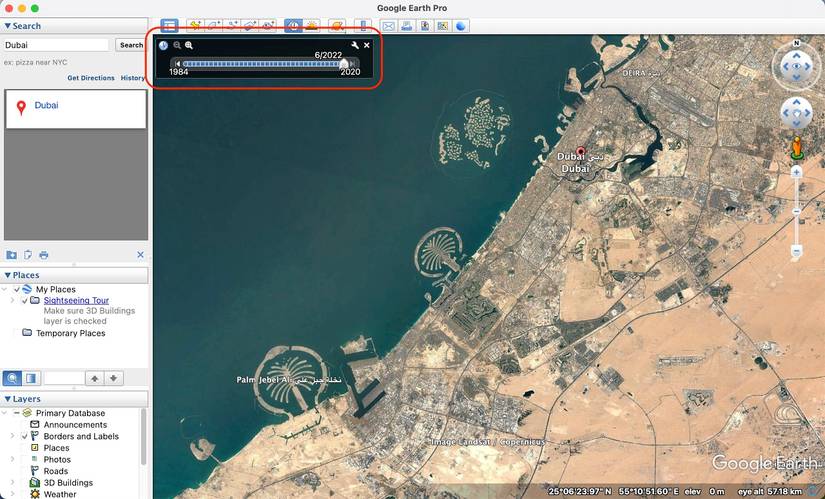
Satellite View shows images taken from satellites in space. These pictures give a bird’s eye view of the earth.
You can see cities, forests, oceans, and more from above. The images update often to show recent changes.
3d View
3D View adds depth to the map. Buildings, mountains, and landmarks appear in three dimensions.
This view helps you see how tall buildings are and understand the shape of the land better.
Street View
Street View lets you see places at ground level. It uses photos taken by cars and people walking.
You can look around streets, parks, and famous spots as if you are there in person.
Credit: www.androidpolice.com
Birds Eye View Explained
Birds Eye View shows a map or scene as if you are looking from above. It gives a clear view of buildings and streets.
This view is different from looking straight down. It helps people see shapes and heights better.
Angle And Perspective
Birds Eye View uses an angled perspective. This means the camera looks at the scene from the side and above.
You can see the front and sides of buildings. This gives a 3D-like effect that shows depth and height.
Comparison With Satellite View
Satellite View looks straight down from space. It shows a flat image of the ground.
Birds Eye View shows buildings and trees from an angle. This makes it easier to understand the shapes.
- Satellite View: straight top-down angle
- Birds Eye View: angled side and top view
- Satellite View: good for maps and roads
- Birds Eye View: better for seeing building details
Birds Eye View In Google Earth
Google Earth shows many views of the world. One special view is the Birds Eye View. It shows places from an angle above the ground.
This view helps people see buildings and landscapes in a clear way. It is different from the top-down view that looks straight down.
Availability And Coverage
Birds Eye View is not available everywhere in Google Earth. Some cities and places have this view. Others do not.
The coverage depends on where Google has taken angled photos. Most big cities have Birds Eye View. Rural areas usually do not.
- Large cities have better Birds Eye View coverage
- Tourist spots often include this view
- Remote locations rarely have Birds Eye View
How To Access
You can see Birds Eye View in Google Earth by using certain tools. The desktop app often has more views than the web version.
To access the view, search for a city or place. Then look for the option to change the camera angle or tilt. This will show the angled view.
- Open Google Earth on desktop or mobile
- Search for a location with Birds Eye View
- Use the tilt or rotate controls to see angled images
- Zoom in to see details from the angled perspective

Credit: www.androidpolice.com
Differences Between Google Earth And Birds Eye View
Google Earth and Birds Eye View both show maps from above. They help users see places from a high viewpoint.
Though they look similar, these two have some key differences. These differences affect how the images appear and how people use them.
Image Quality
Google Earth uses satellite photos. These images cover large areas but can look less clear. Birds Eye View uses angled photos from planes or drones. These pictures are sharper and show more detail on buildings and streets.
Update Frequency
Google Earth updates images less often. Some photos may be months or years old. Birds Eye View updates more regularly. This means it shows newer pictures of places, especially in busy cities.
- Google Earth updates every few months or years.
- Birds Eye View can update every few weeks.
- New construction and changes appear faster in Birds Eye View.
User Experience
| Feature | Google Earth | Birds Eye View |
| Viewing Angle | Top-down | Oblique (angled) |
| Image Detail | Moderate | High |
| Navigation | Zoom and rotate 3D | Mostly 2D with tilt |
| Update Speed | Slower | Faster |
Alternatives Offering Birds Eye View
Google Earth mainly offers satellite and 3D views. It does not have a true birds eye view like some other services. Birds eye view shows angled, detailed images from above.
Some mapping platforms give you this type of view. These alternatives can help you see places more clearly.
Microsoft Bing Maps
Bing Maps provides a birds eye view option. It shows high-resolution aerial images from four different angles. This view helps you see buildings and streets in detail.
The birds eye images in Bing Maps are updated regularly. You can zoom in and rotate the view for better understanding of the area.
- High-quality angled aerial photos
- Multiple viewing angles
- Regular image updates
- Easy zoom and rotate controls
Other Mapping Services
Some other online map providers also offer birds eye views. These services use aerial photos or 3D models to give angled views.
Examples include specialized drone map apps and regional mapping platforms. These may have detailed views for specific cities or areas.
- Drone mapping apps with real-time aerial views
- Regional platforms offering detailed city imagery
- 3D map services with angled perspectives

Credit: uk.news.yahoo.com
Tips For Better Visual Experience
Google Earth offers different views to explore places worldwide. Using its features well can improve what you see.
This guide focuses on getting better visuals by using 3D mode and adjusting angles and zoom.
Using 3d Mode
3D mode shows buildings and terrain with depth. It makes the map look more real and easier to understand.
- Click the 3D button to turn on this mode.
- Use your mouse or touchpad to move around the 3D view.
- Look for landmarks and natural features in 3D for better context.
- Turn off 3D if your device runs slow or the view is cluttered.
Adjusting Angles And Zoom
Changing the angle and zoom helps you see details or get a wide view. This lets you explore places from different heights and sides.
| Action | How to Do It | Effect |
| Zoom In | Scroll mouse wheel up or pinch out | See close details like buildings |
| Zoom Out | Scroll mouse wheel down or pinch in | View larger area at once |
| Change Angle | Hold Shift and drag mouse up or down | Look at the ground from different heights |
| Rotate View | Hold Ctrl and drag mouse left or right | Turn map to see different sides |
Frequently Asked Questions
Does Google Earth Offer A Birds Eye View Option?
Yes, Google Earth provides a birds eye view through its 45-degree imagery. This feature offers angled, detailed views of locations, enhancing map exploration beyond the traditional top-down perspective.
How Is Birds Eye View Different From Satellite View On Google Earth?
Birds eye view shows angled images, revealing building sides and terrain. Satellite view displays straight-down images, focusing on flat, overhead views. Both offer unique perspectives for better spatial understanding.
Can I Access Birds Eye View On Google Earth Mobile App?
No, the birds eye view feature is mainly available on Google Earth desktop. The mobile app mostly offers standard satellite and street views for easier navigation on smaller screens.
Why Doesn’t Google Earth Show Birds Eye View Everywhere?
Birds eye imagery is limited to certain cities and regions. Google relies on aerial photography availability and licensing, so coverage varies worldwide based on data access and quality.
Conclusion
Google Earth offers diverse views, but no true bird’s eye view. The tool provides aerial images, but not the angled perspective some users seek. Street View and 3D imagery serve as useful alternatives. These features allow exploration from different angles.
They enhance your viewing experience significantly. Google Earth remains a powerful tool for exploring our world. It’s accessible and user-friendly for all ages. A great way to discover new places. Whether you’re curious or need detailed views, it delivers. Explore and enjoy your virtual journey with Google Earth today.


